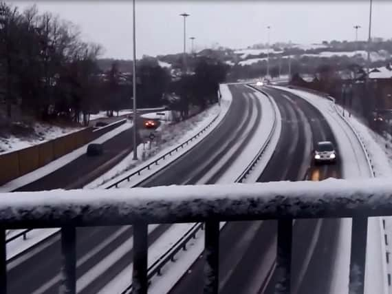
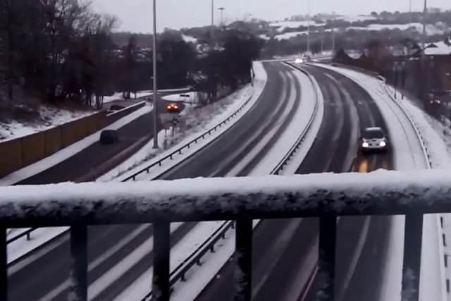
North East hit by further snow - but will we get more this week?


After a cold and frosty morning, and a dry and bright start to the day, cloud thickened, bringing a mix of rain and snow, during the afternoon.
Forecasters say it will be short-lived at low levels, but with some side roads and particularly footpaths still slippy from the downfall during the week, it will be potentially icy in places.


Advertisement
Hide AdAdvertisement
Hide AdSpells of rain and drizzle will clear eastwards during the evening, leaving a mainly dry night with perhaps a few showers in the west, and it will be less cold than recent nights.
Tomorrow will be a slightly milder day, but remaining relatively cold, with bright spells and occasional showers, most of these occurring in the north and west, with the driest conditions around Newcastle and Sunderland. The maximum temperature will be 6°C.
The outlook for Tuesday to Thursday is mixed, as it will be rather windy with spells of rain on Tuesday, though milder than of late.
Wet and windy conditions early Wednesday should clear to sunshine and showers during the afternoon and during Thursday, with the weekend forecast to be dry.