What do forecasters expect from this week's weather? Will we get more snow?


But will there be more this week, or have we seen the last of the white stuff for now?
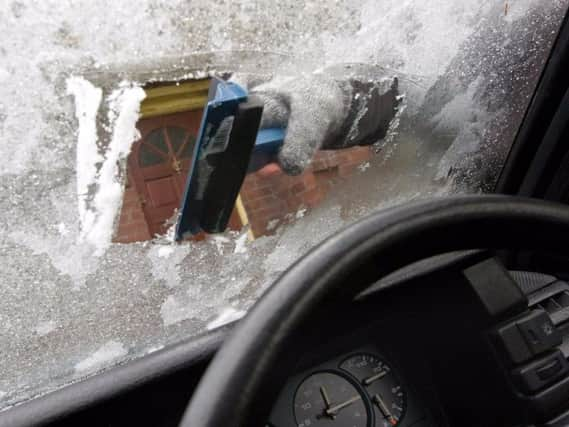
Well, after a dry day, it will be frosty tonight, and there could also be the odd pocket of mist or fog developing by dawn.
Advertisement
Hide AdAdvertisement
Hide AdMonday will be a largely dry day, with patchy cloud and brighter spells. However, there is then the risk of a shower or two over the Pennines later.
From Tuesday to Thursday the outlook is for it to be windy, with variable cloud and brighter spells on Tuesday and Wednesday.
Winds will strengthen overnight into Thursday, with heavy rain.
It will be cold and windy on Thursday, but often sunny, with a risk of wintry showers later.
Advertisement
Hide AdAdvertisement
Hide AdDaytime temperatures will range from 8-10C in the early part of the week, but it will become much colder from Thursday, when winds will make it feel close to freezing.
On Friday, temperatures will reach a maximum of 4C, but it will feel much colder - as low as -5C at times, due to a biting north-westerly wind.
By Saturday the wind will have dropped a little, but it will remain cold, again reaching a maximum of 4C, but feeling a couple of degrees colder.