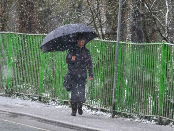
Will snow spread to the North East this week as cold snap continues?


The Met Office says the UK has not seen the last of the snow which affected large parts of Yorkshire and the Peak District after overnight temperatures reached -7C in some parts of northern Scotland.
Temperatures on Sunday night could fall even further, with parts of the Scottish Highlands perhaps seeing figures as low as -10C (14F).
Advertisement
Hide AdAdvertisement
Hide AdThe rest of the UK, meanwhile, should expect another cold and frosty night with temperatures ranging between -2C and -4C.
Overnight, parts of north-west England and Wales, and the east coast from Lincolnshire to East Anglia, will all experience coastal showers and could see up to 1cm of snow.
But the North East should again be spared, with forecasters predicting a clear and frosty night, with isolated wintry showers, mainly near the coast.
A widespread, sharp frost is expected, so Monday will have a cold, frosty start. The day will be mostly dry, with some good sunny spells.
Advertisement
Hide AdAdvertisement
Hide AdAgain, the Met Office says isolated wintry showers are possible near the coast, and frost will return during the evening.
The outlook for the middle of the week remains much the same as we've had this weekend.
It will be cloudy on Tuesday with some rain, preceded by hill snow.
It will rain during Wednesday, slowly becoming drier and somewhat brighter, while Thursday will have a dry start, with strong winds and rain later.
Met Office forecaster Charlie Powell said things should seem more spring-like by next weekend.
"By this time next week we should be looking at things a bit more seasonal for mid-March," he said.