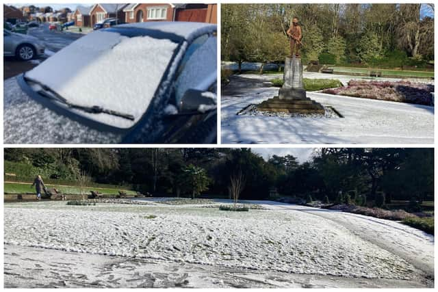
Hartlepool sees its first blanket of snow in Arctic blast - but how long will it last for?
and live on Freeview channel 276
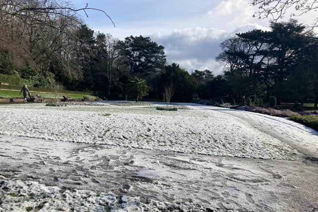
The town woke up to a light covering of the white stuff on Friday, March 10, following light flurries earlier in the week.
But the town has so far got off lightly compared to other parts of the country that have seen heavier downfalls causing roads to be closed and schools shut.
Advertisement
Hide AdAdvertisement
Hide AdA Met Office yellow weather warning for ice is in place for much of the country including the North East and Hartlepool.

It lasts until 10am on Saturday, March 11, and covers the likelihood of some injuries from slips and falls on icy surfaces, and some icy patches on some untreated roads, pavements and cycle paths.
According to the Met Office forecast, no more snow is on the way for Hartlepool.
Friday is due to be a bright, sunny but cold day with temperatures hovering around 4 or 5 degrees Celsius, but feeling like 1 or 2C.
Advertisement
Hide AdAdvertisement
Hide AdSaturday is also expected to remain dry but cloudy and around 5C for much of the day, but will feel more like 2C.
Milder temperatures are due to return on Sunday when it is set to be around 6C for most of the day and remain dry.
There is a high chance of heavy rain showers early on Monday, March 13, with an overcast start to the week.
Light showers are a possibility in the afternoon turning heavier in the evening.
But temperatures are expected to reach around 10C (50 Fahrenheit).