Is the North East set to be hit by more flooding?


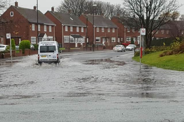
Flood alerts were issued by the Environment Agency as rivers, streams and becks became raging torrents.
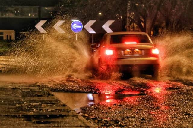
Roads have also been hazardous with the rising water blocking lanes and the downpours creating difficult driving conditions.
Advertisement
Hide AdAdvertisement
Hide AdAnd there seems no let-up ad this morning has seen even more rain arrive.
So what does the weather have in store?
The good news is that the rain is set to stop but temperatures are about to fall again, so early-morning frost and icy roads will be a factor as the week goes on.
Here's the Met Office forecast for the coming days:
Today
Cold and rather grey with showery outbreaks of rain throughout, especially in the north, some heavy but not as torrential as on Monday. Hill fog over high ground. Strong northerly winds across northern coasts, moving further east later. Maximum temperature 8C.
Tonight
Cold and breezy with a further showers during the evening, but winds easing and becoming much drier during the second part of the night. Frost possible across northern parts. Minimum temperature 0C.
Wednesday
Advertisement
Hide AdAdvertisement
Hide AdA much drier and brighter day than of late, with light northerly winds and sunny spells, the best of these in the north. A few showers perhaps affecting the south. Maximum temperature 6C.
Outlook for Thursday to Saturday
A good deal of dry and sunny weather Thursday and Friday, with light winds and frosty nights, perhaps with some fog also developing. Remaining dry on Saturday but perhaps cloudier.