Storm Ciaran: Will it hit Hartlepool and when?
and live on Freeview channel 276
A yellow weather warning for heavy rain has been issued for the town by the Met Office for both Thursday and Friday.
This states that “there is a small chance that homes and businesses could be flooded, causing damage to some buildings”.
Advertisement
Hide AdAdvertisement
Hide AdStorm Ciaran’s arrival follows just a fortnight after Hartlepool was hit by Storm Babet and only days after heavy downpours lashed the town at the weekend.
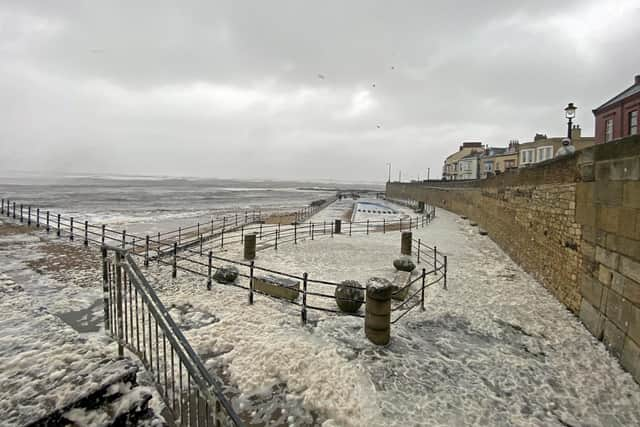

But this week’s impending disruption is not believed to be as extreme as two weeks ago.
Winds speeds are expected to reach 40 miles per hour rather than the 60 miles per hour gusts experienced during Storm Babet’s visit.
Nor is the rainfall likely to be as constant with downpours punctuated by periods of sunshine on both Thursday and Friday afternoons.
Advertisement
Hide AdAdvertisement
Hide AdThursday at 9am looks to be the time when Storm Ciaran will be at its peak.
The Met Office’s warning – which extends from Edinburgh to Hull – expects it will have departed our coastline by Friday evening.
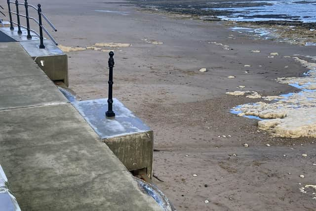
Meanwhile, a number of large blocks were dislodged from promenade wall, off Marine Drive, on the Headland, following the weekend rain.
Metal railings on top of the blocks have also broken.
Hartlepool Borough Council workers were out on Monday morning to cordon off the damage from the public.
A flood warning for the Headland was issued on Sunday afternoon covering Marine Drive, Sea View Terrace, York Place, Albion Terrace, South Crescent, Moor Parade, and Broad Field Road.